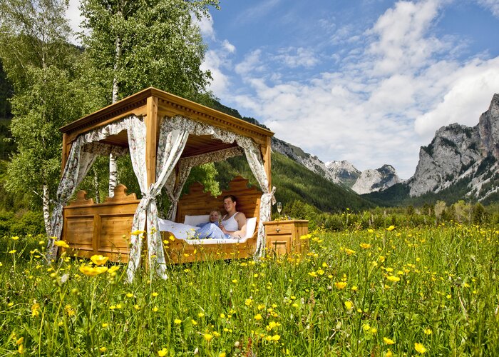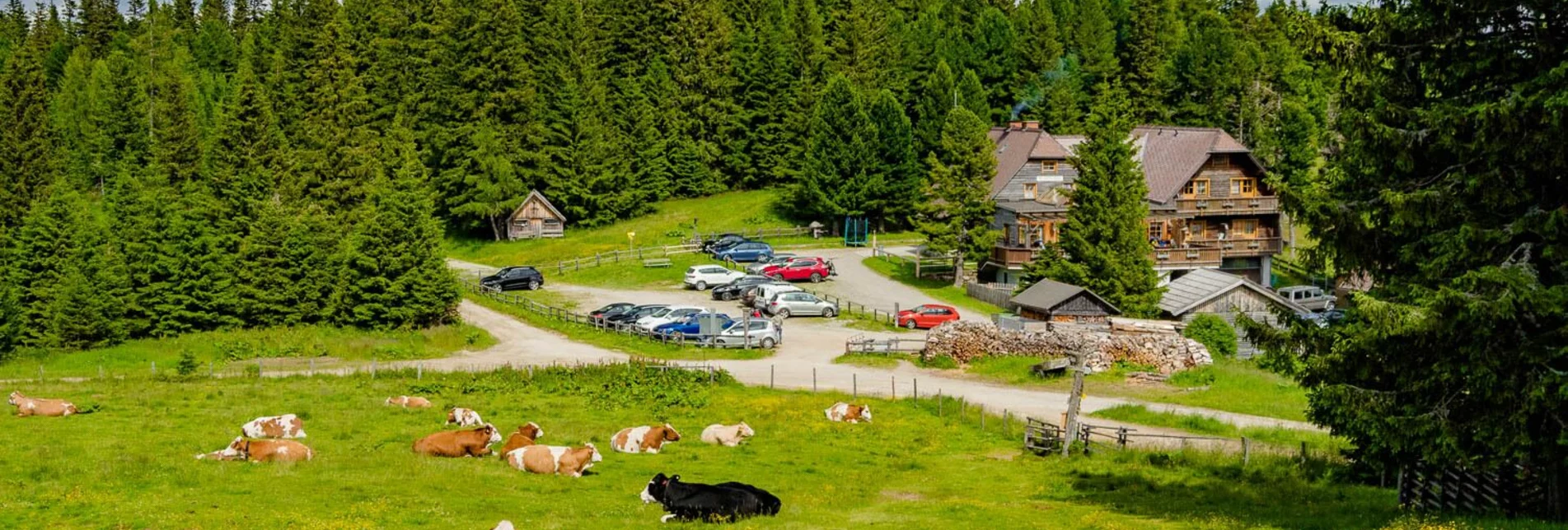
Hiking route Alpine hut round - Touren-Impression #1 | © Erlebnisregion Murtal Hiking route Alpine hut round - Touren-Impression #1 | © Erlebnisregion Murtal

Alpine hut round

Open
Enjoyable alpine hut round through the Swiss stone pine forest from the Waldheimhütte via the Türkenkreuz to the Rothaidenhütte in the Murtal adventure region styria.
A beautiful, leisurely circular hike through the stone pine forest in the Murtal adventure region. We start at the Waldheimhütte in St. Anna and hike past the Maria Zirbe memorial uphill to the Türkenkeuz. Afterwards we walk comfortably on the right hand side along the gravel path to the lovely Rothaidenhütte with a beautiful view to Obdach. Well strengthened, we go briefly steep (but not dangerous) over a meadow path and small stream to the hiking trail 48 back to the Waldheimhütte in the adventure region murtal styria.

Characteristics

Skill
Fitness

Best season

The tour in numbers

medium
Level of difficulty
7,6 km
Route
2:30 h
Time
300 hm
Uphill
300 hm
Downhill
1913 m
Highest point

Map & downloads

More information

Approach on the federal road B78 coming from Obdach or Reichenfels, turn off directly at the Obdacher Sattel to St. Anna and continue to the Waldheimhütte.
Comfortable ascending forest path.
For a first short break you can visit the "Maria in der Zirbe" shrine in the middle of the beautiful Swiss pine forest.
This tour is NOT considered "accessible by train and bus" because there is no regular connection.
Chargeable parking at the Waldheimhütte - coin-operated machine € 3.00

NEW: Road is asphalted up to the Waldheimhütte.

Adventure Region Murtal: Adventure Region Murtal

At the Sparmarkt Mandl in Obdach you can get the Murtal hiking maps for free.

You can also find this tour on the following hiking map:

Region Murtal - Hiking map 1 & 2 - Tour 24a

The hiking maps 1,2&3 - you can get for free at the tourism association Murtal - info@murtal.at  - Tel.: +43 3577 26600

You can also find more information about the region on - www.murtal.at 

Gallery

What the weather will be like

Obdach (868m)

Morning
weather.icon.04
8°C
35%
0 km/h
Noon
sunny
16°C
25%
5 km/h
Night
cloudy
13°C
35%
5 km/h
Sunshine and cloudiness will alternate throughout the day. A chance of showers towards evening.
Morning
very sunny
10°C
0%
0 km/h
Noon
slightly cloudy
18°C
0%
10 km/h
Night
sunny
14°C
10%
0 km/h
The day starts sunny, but will be partly cloudy in the afternoon.
06.05.2024
slightly cloudy
7°C 21°C
07.05.2024
cloudy
9°C 17°C
08.05.2024
weather.icon.04
7°C 16°C

Nearby accommodation options

Continue to search

You may also be interested in

Recommended tours

sabathy-rothaidenhütte-zirbitzkogel-winterleitenhütte-sabathy_img_19095787 | Maria Leitner | © Erlebnisregion Murtal
Obdach medium Open
Route 16,3 km
Duration 5:40 h

Sabathy-Rothaidenhütte-Zirbitzkogel-Winterleitenhütte-Sabathy

Accessible by public transport
Murau Closed
Route 16,9 km
Duration 5:13 h

Mühlradl Rundwanderweg

Accessible by public transport
Tonnerhütte | Tom Lamm | © Tourismusverband Region Murau
Muehlen easy Open
Route 1,6 km
Duration 0:31 h

Stone pine circular route

Accessible by public transport
Zirbitzkogel Schutzhaus | Stefanie Hofer | © Erlebnisregion Murtal
Murtal challenging Open
Route 14,3 km
Duration 5:00 h

From the Waldheimhütte hut to the Zirbitzkogel

Accessible by public transport
von der Wanderkarte zur getrackten Tour | Karl Steinegger | © Erlebnisregion Murtal
Murtal easy Open
Route 9,9 km
Duration 2:30 h

Hike from St. Georgen to the foot of the Gernkogel

Accessible by public transport
von obdach über erlebniswanderweg zur aussichtsplattform st. anna_img_42317965 | 50plus Campingpark Fisching | © Erlebnisregion Murtal
Accessible by public transport
kreiskogel - winterleiten_img_1094261 | Tom Lamm | © Tourismusverband Region Murau
Murau medium Open
Route 18,5 km
Duration 8:30 h

Kreiskogel - Winterleiten