
Adventure mile around the Mühlner bathing lake
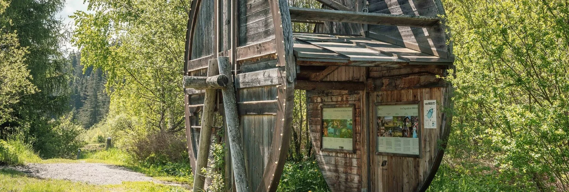
OpenA tour around the Mühlner bathing lake promises fun and relaxation for the whole family. Exciting experience points invite you to linger, learn, play and relax.
This is an easy hike that will appeal especially to the little ones among us. On this hike, nature and the wonderful landscape at the Mühlner bathing lake can be explored, discovered but above all enjoyed.
Characteristics
Best season
January
February
March
April
May
June
July
August
September
October
November
December
The tour in numbers
easy
Level of difficulty
1,9 km
Route
0:30 h
Time
25 hm
Uphill
25 hm
Downhill
982 m
Highest point
Map & downloads
More information
From Vienna/Eastern Europe: via the southern motorway (A2) to the Seebenstein junction, S36 towards Semmering, Bruck an der Mur, Judenburg, Scheifling, Neumarkt. 1 km after Neumarkt towards Mühlen, at km 5.8 turn right to the campsite.
From Germany: Salzburg, Tauernautobahn (A10) to St. Michael im Lungau, Murau, Scheifling, Neumarkt. 1 km after Neumarkt towards Mühlen, at km 5.8 turn right to the campsite.
From Italy: Motorway to Villach, Klagenfurt, S36 towards St. Veit an der Glan, Friesach, 1 km before Neumarkt to Mühlen, at km 5.8 turn right to the campsite.
From Slovenia: Motorway to Klagenfurt, S36 towards St. Veit an der Glan, Friesach, 1 km before Neumarkt to Mühlen, at km 5.8 turn right to the campsite.
The adventure trail leads around the Mühlen bathing lake. The path is signposted.
Eine Abkühlung im See gefällig? Badesachen mitnehmen!
With the BusBahmBim app from the composite line, timetable information is easier than ever before: all bus, train and tram connections in Austria can be queried by entering locations and/or addresses, stops or important points. The app is available as a free app for smartphones (Android, iOS) - on Google Play and in the App Store.
ÖBB www.oebb.at | Styria connection line www.busbahnbim.at
Parking spaces are available directly at the Mühlen bathing lake.
The ideal time for this tour is from May to September. Information brochures are available at the various information offices.


