
Brandstätterkogel
OpenThe Brandstätterkogel is a 2000m peak that (almost) anyone can climb. This special mountain is not only characterized by its easy accessibility, but also by the stunning view of the idyllic Ingeringtal valley in the Murtal adventure region.
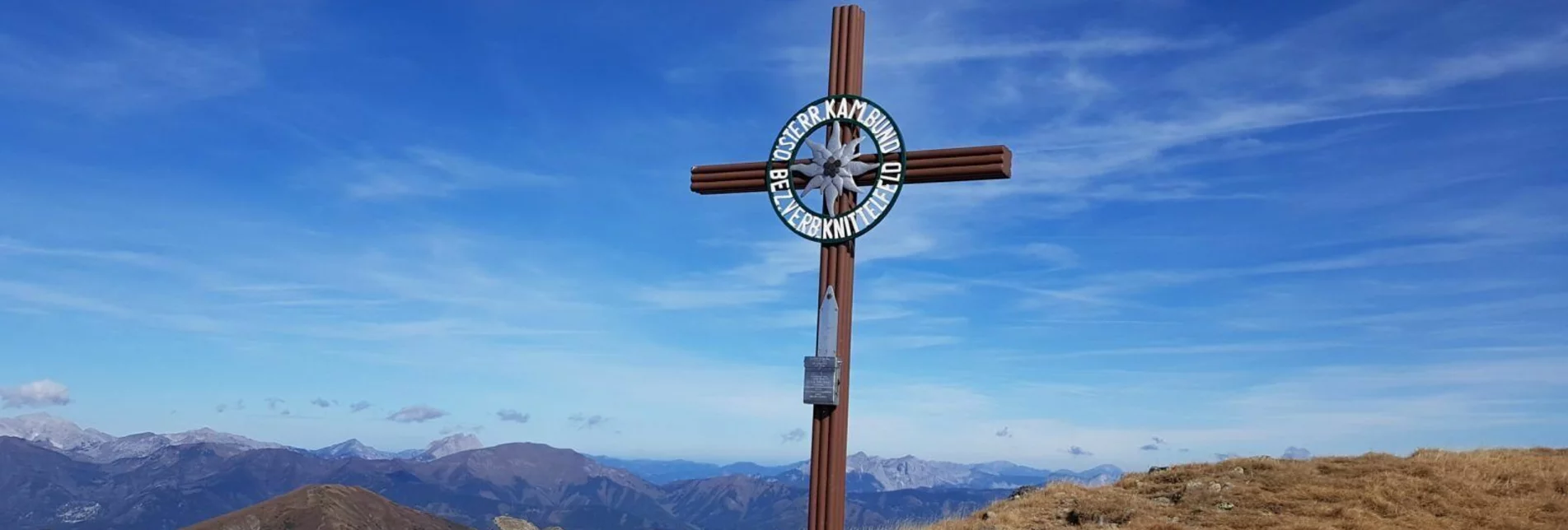
The tour starts just before the Ingeringsee, which can be reached from Knittelfeld via the Gaal in around 30 minutes. From the P4 car park, you set off in the direction of several peaks - including the path to the Hochreichart, its large neighbour. For the slightly more than five kilometres and 1,000 metres in altitude, you are rewarded with wonderful views of the Großer Ringkogel, the Pletzen and the Kesseleck. The plaque on the summit cross is remarkable: Peter Grillitsch from Zeltweg has climbed the Brandstätterkogel no less than 1,000 times in 20 years and has been immortalised on the summit cross. In 4,000 hours of walking, he gained over a million metres in altitude - incredible! With this outstanding achievement, Grillitsch even made it into the "Guinness Book of Records"! The Brandstätterkogel can be hiked by pretty much anyone - you won't find any exposed sections or even climbing passages on this tour - but a little fitness is certainly advisable for the five-hour tour.
Characteristics
Best season
January
February
March
April
May
June
July
August
September
October
November
December
The tour in numbers
challenging
Level of difficulty
10,8 km
Route
5:30 h
Time
1070 hm
Uphill
1070 hm
Downhill
2234 m
Highest point
1161 m
Lowest point
Map & downloads
More information
Knittelfeld - Bischoffeld- Ingering II - Inheringgraben - Hochreichart Parkplatz P4
Die Wanderung zum Brandstätterkogel beginnt am Hochreichart Parkplatz. Ein sehr gut markierter Weg führt dich durch den Wald über einen Forstweg bis zum Brandstättergraben. Dort geht ein abwechslungsreicher Steig den Graben entlang.
Wer möchte kann kurz vor dem Törl noch einen Abstecher zum Peters Bründl machen, um sich dort mit Quellwasser zu erfrischen.
Am Brandstättertörl angekommen, genießt man die Aussicht bereits auf den Hochreichart und den Eisenerzer Alpen.
Von hier sind es noch ca. 30 Minuten bis zum Gipfel. Der Brandstätterkogel ist ein wunderbarer Aussichtsberg mit sportlichen 1000hm.
Der gesamte Weg ist gut markiert und leicht begehbar.
Combination option: from the Brandstätter Törl further on to the Hochreichart
This tour is NOT considered "accessible by train and bus" because there is no regular connection.
Hochreichart parking lot P4
More information at www.murtal.at/wandern


